San Pedro de Atacama
City guide · Antofagasta Region · Chile
R. P. Gustavo Le Paige Archaeological Museum, displaying ceramics and pottery crafts from the first inhabitants of the region · Native ruins nearby attracting tourists interested in pre-Columbian cultures
About San Pedro de Atacama
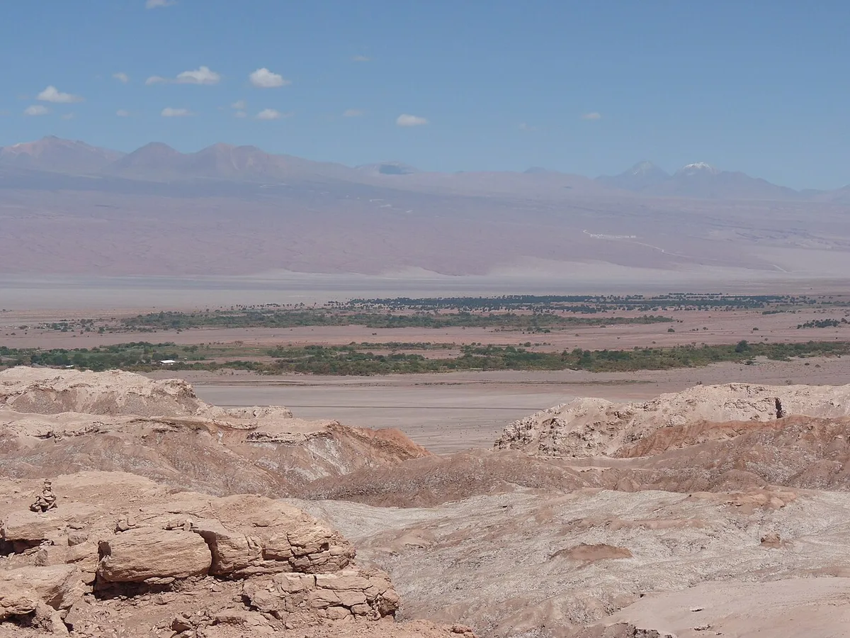
San Pedro de Atacama is a Chilean town and commune in El Loa Province, Antofagasta Region, located east of Antofagasta, some 106 km (60 mi) southeast of Calama and the Chuquicamata copper mine, overlooking the Licancabur volcano. It grew over centuries around an oasis in the Puna de Atacama, an arid high plateau, and features a significant archaeological museum, the R. P. Gustavo Le Paige Archaeological Museum, with a large collection of relics and artifacts from the region. Native ruins nearby attract increasing numbers of tourists interested in learning about pre-Columbian cultures. The town lies at an average of 8,000 feet (2,400 m), and visitors often experience mild altitude sickness such as dizziness, lethargy and headaches. The local climate is extremely dry and mild, with daytime temperatures between 25–30°C (77–86°F) in the summer (December to February) and 18–25°C (64–77°F) in the winter (June to August). Nighttime temperatures routinely drop below 0°C (32°F) and can reach as low as −10°C (14°F) in the winter. The Köppen-Geiger climate classification system classifies its climate as cold desert (BWk).
Who this destination fits
Highlights worth planning around
Strong fit
- Popular tourist destination with various activities for adventurers: trekking, climbing, archaeological sightings, amateur astronomy, exploration tours in natural landscapes, and sandboarding in the desert
- Features a significant archaeological museum, the R. P. Gustavo Le Paige Archaeological Museum, with a large collection of relics and artifacts from the region
- Native ruins nearby attract increasing numbers of tourists interested in learning about pre-Columbian cultures
- Located on the main paved road from Argentina over the Paso de Jama, 160 km from the town, with the road paved throughout
- Frequent bus services to Calama, several buses daily to Santiago, and buses on 6 days a week to Salta across the Andes in Argentina
Tradeoffs
- Because of its altitude, a brief period of acclimatization may be required; visitors often experience mild altitude sickness such as dizziness, lethargy and headaches
- Nighttime temperatures routinely drop below 0°C (32°F) and can reach as low as −10°C (14°F) in the winter
- The local climate is extremely dry, with average annual precipitation of only 38 mm (1.5 inches)
Plan the trip
Best time to visit
Summer (December to February) has daytime temperatures between 25–30°C (77–86°F); winter (June to August) has daytime temperatures between 18–25°C (64–77°F) but nighttime temperatures routinely drop below 0°C (32°F) and can reach as low as −10°C (14°F)
Planning lead time
A brief period of acclimatization may be required due to altitude
Decision factors
Safety
Visitors often experience mild altitude sickness such as dizziness, lethargy and headaches due to the town's elevation of approximately 2,400 m (8,000 ft)
Getting around
Located on the main paved road from Argentina over the Paso de Jama, 160 km from the town; frequent bus services to Calama, several buses daily to Santiago, and buses on 6 days a week to Salta across the Andes in Argentina; nearby airports include San Pedro de Atacama Airport and Salar de Atacama Airport for private aircraft, and the larger El Loa Airport/Calama 100 km away for scheduled aircraft
Trip Budget Calculator for San Pedro de Atacama
Estimate your travel expenses based on duration, style & group size
Global planning baseline. Flights use a generic estimate.
* Commission may be earned from qualifying partner bookings.